Uma Flores · 9 October 2026
How Microclimates Influence Crop Selection Cycles Among Remote Valley Farmers
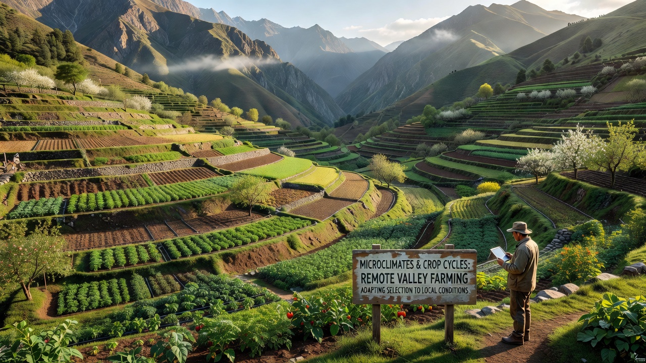
Remote valley farmers navigate complex temperature gradients and terrain features that create distinct microclimates within short distances, and these conditions directly determine which crops thrive during each growing season. Cold air drainage pools in valley floors while south-facing slopes retain more heat, producing pockets where frost risk varies by several degrees Celsius over mere hundreds of meters. Data from monitoring networks shows these patterns repeat across high-elevation regions worldwide, shaping decisions on planting dates and variety selection each year.
Topography and Temperature Variation Patterns
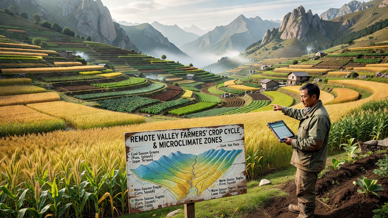
Valley topography channels airflow and sunlight exposure in ways that establish reliable microclimate boundaries, and farmers map these zones through long-term observation combined with portable weather stations. Lower elevations often experience earlier autumn frosts because dense cold air settles overnight, whereas mid-slope terraces stay warmer due to better air mixing and solar radiation. Studies conducted in multiple mountain ranges confirm that a 100-meter rise in elevation within a single valley can shorten the frost-free period by up to two weeks, prompting growers to shift cool-season crops downward and reserve warmer benches for longer-cycle varieties.
Crop Selection Based on Microclimate Data
Selection cycles begin with soil temperature readings and historical frost records that farmers cross-reference against current season forecasts, and this process leads to diversified planting across different valley segments. Root vegetables and leafy greens occupy the cooler, moister lowlands where consistent moisture supports steady growth, while fruiting crops such as tomatoes or peppers move to elevated, sun-exposed terraces that accumulate more growing degree days. In October 2026, valley monitoring programs in several regions recorded delayed first frosts on mid-slope sites, allowing extended harvest windows for heat-sensitive varieties that would have failed in the valley bottom.
Seed companies now supply regionally adapted cultivars rated for specific microclimate tolerances, and farmers incorporate these options into rotation plans that account for both elevation and aspect. Observers note that communities maintaining detailed microclimate maps achieve higher success rates with sensitive crops because they match each variety to its optimal thermal niche rather than applying uniform schedules across the entire valley.
Seasonal Timing Adjustments and Rotation Cycles
Planting and harvest schedules shift according to microclimate-specific degree-day accumulation, and growers stagger operations so that crops reach maturity before local frost dates arrive. Early spring planting occurs first on warmer slopes where soil warms quickly after snowmelt, while lower plots wait until later when cold air drainage risk diminishes. This staggered approach spreads labor demands and reduces total loss risk from single weather events that affect only one zone.
Rotation cycles incorporate cover crops chosen for their ability to moderate soil temperature and moisture within each microclimate pocket, and legumes often occupy transitional zones where nitrogen fixation supports subsequent plantings. Research from agricultural extension services indicates that valleys using zone-based rotations maintain soil health metrics at higher levels than those applying single-crop systems across all terrain types.
Supporting Evidence from Regional Studies
Long-term datasets compiled by government agricultural agencies demonstrate consistent correlations between microclimate mapping and improved yield stability in remote valleys, and similar findings appear in reports from multiple continents. Food and Agriculture Organization analyses of highland farming systems highlight how farmers who integrate elevation-based climate data into crop calendars reduce weather-related losses. Complementary work from Canadian research institutions shows parallel patterns in Rocky Mountain valleys where aspect and cold air drainage dictate barley and potato placement.
Conclusion
Valley farmers continue refining crop selection cycles by layering microclimate observations with seasonal forecasts, and the resulting systems deliver more predictable harvests across variable terrain. Continued collection of localized temperature and moisture data supports these practices while external sources such as Australian Bureau of Agricultural and Resource Economics reports provide broader context on adaptation strategies used elsewhere. The interplay between topography and crop timing remains central to sustaining production in these isolated agricultural settings.